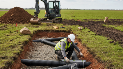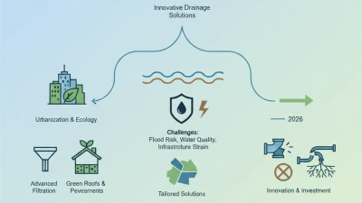
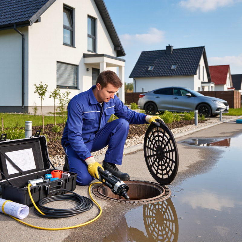
When people search for “drainage near me,” they usually need help with water that refuses to leave. It may be a slow kitchen sink, a flooded driveway, or rainwater collecting beside a foundation. Drainage refers to the planned movement of wastewater and surface water through pipes, channels, gullies, pumps, and treatment systems. A professional inspection normally begins with visible symptoms. Technicians may lift a drain cover, test water flow, or use a camera inside the pipe. Small details matter, such as bubbling sounds, damp soil, or a sudden sewage smell.
The U.S. Environmental Protection Agency’s WaterSense program reports that household leaks can waste more than 10,000 gallons of water annually. That figure shows why a minor blockage should not be ignored. The EPA’s Storm Water Management Model also demonstrates how engineers assess rainfall, runoff, pipe capacity, and temporary storage. Meanwhile, the American Society of Civil Engineers gave America’s stormwater infrastructure a D grade in its 2021 Infrastructure Report Card. The wider system has weaknesses.
A local drainage service may clear obstructions, repair cracked pipes, install channels, or improve surface falls. Gravity usually moves water downhill. Pumps help when levels or site conditions prevent that movement. Results depend on pipe age, soil type, rainfall, and maintenance history. The term “drainage near me” is not perfectly standardized, either. One company may handle domestic drains, while another focuses on stormwater systems. Checking licenses, insurance, inspection methods, and written estimates is sensible. Even experienced professionals can misjudge hidden damage without proper testing. That uncertainty deserves honest attention.
What Is Drainage Near Me and How Does It Work?
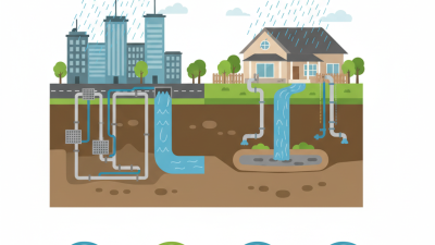
“Drainage near me” usually means the local system that collects, moves, stores, and treats unwanted water. It may include road gullies, storm drains, channels, soakaways, pipes, and pumping stations. Different areas use different designs. Soil, rainfall, slope, groundwater, and development density all influence the choice. A nearby drain is not always connected to the same network.
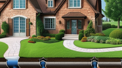
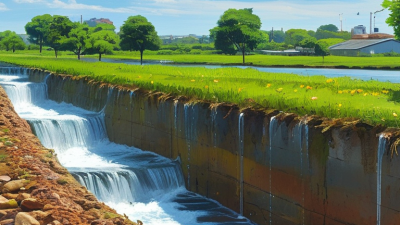
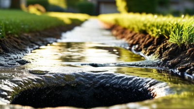
Common types include surface drainage, subsurface drainage, and stormwater drainage. Surface systems carry water across roads, yards, and open channels. Subsurface pipes remove water from beneath lawns, foundations, and agricultural land. Stormwater networks guide runoff toward storage ponds, rivers, or controlled discharge points. Foul drainage handles wastewater and should remain separate from rainwater systems. That distinction matters during heavy storms.
The 1-in-100-year design standard is often misunderstood. It usually refers to a rainfall event with a 1% chance of occurring in any single year. It does not mean flooding can happen only once every century. Two severe events could occur close together. Engineers use rainfall records, climate allowances, catchment maps, and hydraulic models to test capacity. Yet models remain imperfect. Blocked grates, parked vehicles, construction debris, or unusually intense rainfall can change the result quickly. A practical inspection should check water stains, slow gullies, damaged covers, and low ground near buildings. Local records can reveal risks that a simple online search misses.
| Drainage Type | Definition | Typical Components | How It Works | Where It Is Commonly Found | Relationship to the 1-in-100-Year Standard |
|---|---|---|---|---|---|
| Surface Drainage | A system that removes water flowing across paved or landscaped surfaces. | Grated drains, channels, kerbs, gullies, inlets, swales, and collection pipes. | Sloped surfaces direct runoff toward inlets, where the water enters pipes, storage areas, or controlled outfalls. | Roads, driveways, parking areas, patios, courtyards, and commercial sites. | Surface systems may be assessed against a design rainfall event that reflects local flood-risk requirements, including a 1% annual exceedance probability event where applicable. |
| Stormwater Drainage | A network designed to collect, convey, store, treat, and discharge rainwater runoff. | Catch basins, storm pipes, manholes, detention tanks, ponds, culverts, and outfalls. | Runoff is collected from roofs and hard surfaces, conveyed through pipes or channels, and released at a controlled rate or stored temporarily. | Urban streets, residential developments, industrial areas, and public open spaces. | Major stormwater routes and storage facilities are often checked for severe events such as the 1-in-100-year storm, subject to local regulations and site risk. |
| Foul or Sanitary Drainage | A system that carries wastewater from toilets, sinks, showers, kitchens, and appliances. | Soil pipes, waste pipes, inspection chambers, sewer lines, vents, and treatment connections. | Wastewater flows by gravity or pumping to a treatment facility or an approved private treatment system. | Homes, apartments, offices, schools, healthcare buildings, and industrial premises. | It is generally designed using wastewater flow rates and operational criteria rather than a 1-in-100-year rainfall event, although it should be protected from stormwater inflow. |
| Combined Drainage | A network that carries both sanitary wastewater and stormwater in the same pipe system. | Combined sewers, overflow structures, storage tanks, pumping stations, and treatment connections. | Both wastewater and rainfall runoff enter one network; during heavy rainfall, storage or overflow controls may be required to prevent surcharging. | Older urban districts where historical sewer systems were built before separate networks became common. | Flooding and overflow assessments may consider high-intensity rainfall events, including a 1-in-100-year event where required by the responsible authority. |
| Subsurface Drainage | A system that removes excess water from soil or below-ground structures. | Perforated pipes, gravel trenches, geotextile filters, sump pumps, waterproof membranes, and inspection points. | Water enters through perforations or drainage layers and is conveyed to a suitable discharge point, storage system, or pump. | Basements, retaining walls, sports fields, gardens, foundations, and areas with high groundwater levels. | Design normally depends on groundwater conditions and soil permeability; surface flood protection may still require separate assessment for a 1-in-100-year event. |
| Sustainable Drainage Systems | A method of managing rainfall close to where it lands by combining drainage, storage, infiltration, treatment, and environmental features. | Rain gardens, permeable paving, filter strips, swales, infiltration trenches, wetlands, and detention basins. | Runoff is slowed, filtered, infiltrated, evaporated, or temporarily stored before controlled release. | New housing developments, streetscapes, schools, parks, and redevelopment projects. | SuDS features may be sized to manage the 1-in-100-year event plus an allowance for future rainfall changes, depending on local policy and engineering requirements. |
| Highway Drainage | Drainage infrastructure that keeps roads, pavements, bridges, and road embankments safe and serviceable. | Road gullies, edge drains, channels, culverts, bridge deck drains, ditches, and attenuation areas. | Road camber and crossfall move water to inlets, which discharge it through pipes, ditches, or controlled storage areas. | Roads, motorways, bridges, tunnels, pedestrian routes, and transport facilities. | Design typically includes separate checks for frequent rainfall, exceedance flow paths, and major events such as the 1-in-100-year storm where required. |
| Flood Storage and Exceedance Routes | Areas and pathways intended to safely contain or direct water when the primary drainage system is exceeded. | Flood basins, detention ponds, sacrificial storage areas, overland flow routes, raised thresholds, and flood barriers. | Water is temporarily stored or guided away from buildings and critical infrastructure during extreme rainfall. | Parks, development sites, road corridors, low-lying land, and flood-management areas. | These features are particularly important for the 1-in-100-year event because they help manage runoff that cannot be conveyed by ordinary pipe capacity. |